Project areas
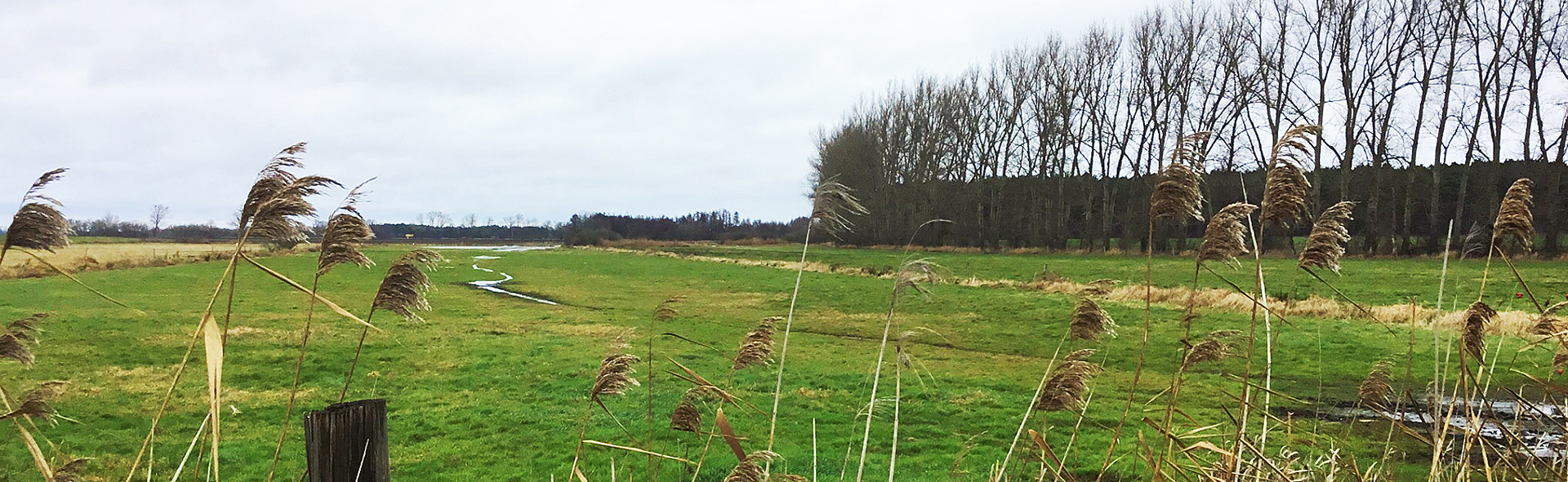
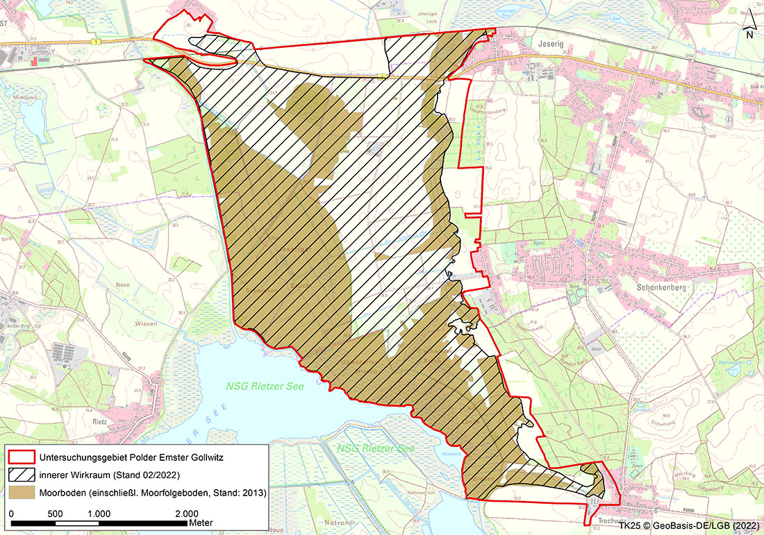
Emster-Gollwitz Polder Area
CURRENT INFORMATION ON THE PEATLAND AREAS
Please click on the peatland area you would like to learn more about.
CONTACT PARTNER

Dipl.Biol. Christina Grätz
E-mail: Christina.graetz@nagolare.de
Telephone: 035607 745964
AREA DESCRIPTION
The low-lying peatlands along the Havel and Emster rivers have been drained for agricultural use and peat extraction for more than 200 years. The Emster Canal and Rietzer See (Lake Rietz) were enclosed by dykes more than 60 years ago and a pumping station was used to drain the Emster-Gollwitz study area. As a result, the water levels within the pumping station area are below the water levels of Rietzer See (Lake Rietz) and the Emster Canal, which leads to a constant inflow of groundwater from these water bodies into the study area. In the winter months, the water is only drained during floods and the water levels are partly above the ground surface; in the summer months, the water level is lowered for agricultural use. The elevated mineral areas of the area are mostly used for arable farming. Pastureland management predominates in the western and southern parts of the area. One special feature is the inland salt marshes and their unique vegetation in the area of the Jeseriger Seewiesen.
WHAT IS CURRENTLY HAPPENING?
Hydrological measurements at six groundwater monitoring sites and one surface water monitoring site
Mapping of the avifauna
Consultations with users
TASKS
Establishment of utilisation chains
Specific business analysis with regard to the need for adaptation for individual agricultural enterprises
Information event for owners
LATEST NEWS AND LINKS
This section contains the presentations of the early information event for owners in the Emster-Gollwitz polder project area on 20.05.2022.
- Presentation Dr. Lukas Landgraf
- Presentation Christina Grätz
- Presentation Dr. Kristina Brust / Dr. Volkmar Rowinsky
- Event notification Polder Emster-Gollwitz
COMPLETION STATUS
Please refer to the table for the completion status of the task using this Link.
Completion of project modules 1. and 2. is planned for 2022 and 2023. The project modules listed below are to follow:
- Validation of the development scenarios
- Approval procedure
- Project implementation