Project areas
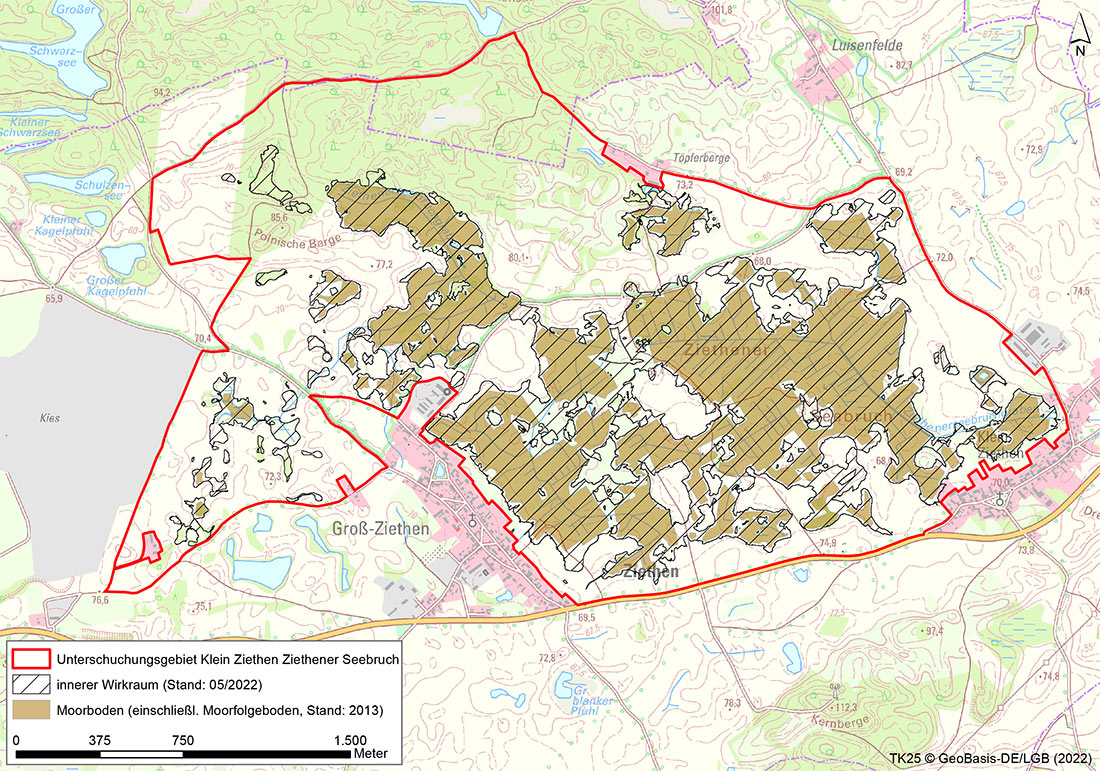
Ziethener Seebruch
CURRENT INFORMATION ON THE PEATLAND AREAS
Please click on the peatland area you would like to learn more about.
CONTACT PARTNER

Stefan Rätzel
E-mail: stefan.raetzel@nagolare.de
Telephone: 0173/ 712 88 34
AREA DESCRIPTION
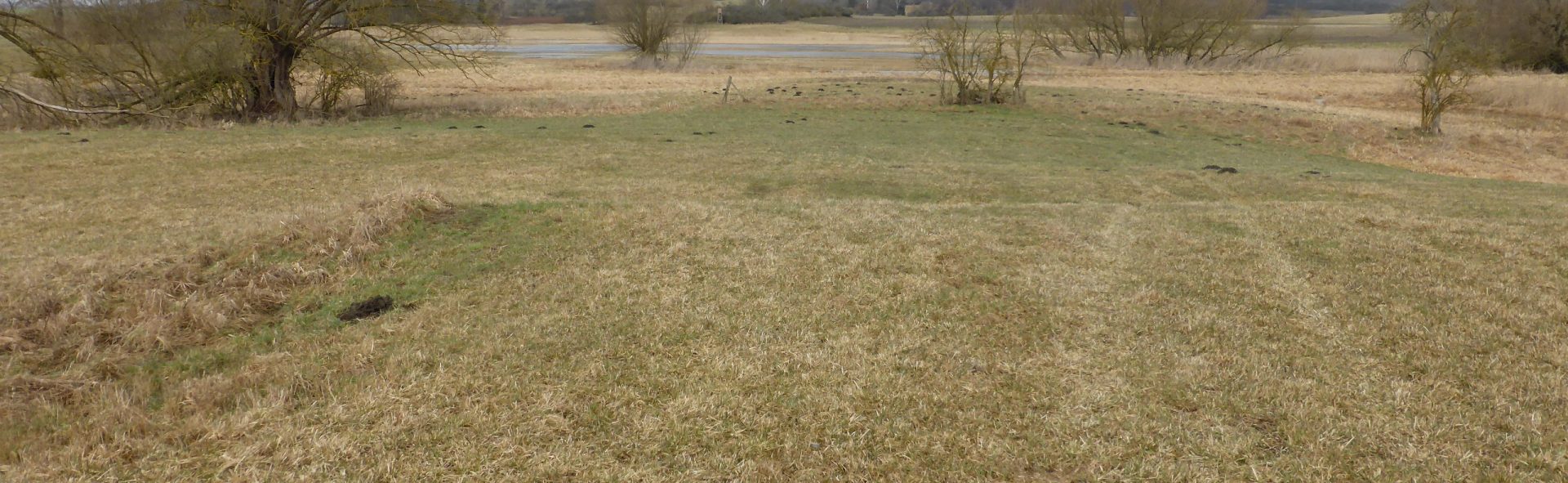
The Ziethener Seebruch was originally an inland drainage area without natural surface runoff. A lake formed in the geologically formed shallow depression, which progressively silted up. The peat of the resulting sedimentation bog is predominantly underlain by clay, boulder clay and sandy substrates, and has a moving basal relief. The sediment sequence consists of multiple changes of mud and peat and therefore indicates several changes in the lake level. The thickness of the mire varies between 0.3 and 6.4 m.
The Ziethener Seebruch was a shallow, silted-up body of water that was drained via a channel until the beginning of the 19th century. Later, it was drained over the entire area, in some cases with extremely deep channels and piping, and the area was densely dissected by a network of channels. The Klein Ziethen pumping station had drained the Seebruch since the early 1960s, but it has not been in operation for well over 10 years. The discharge now occurs via a piped overflow into the Rosinsee lake. Many years of drainage of the Ziethener Seebruch have led to severe peatland loss. The mire surface has slumped by up to 3m in areas with greater mire thicknesses compared to the representation in the topographical survey map.
Part of the peatland is used as pastureland under extensive grazing and as mowing pasture. The central peatland areas are often too wet for agricultural use.
(Sources: A. Krone 2011, J. Chmieleski & J. Zeitz 2008).
The project area currently plays an essential role as a feeding habitat, especially for migratory birds. For example, the Klimamoor team was able to observe Montagu’s Harriers (Circus pygargus) foraging during the migration season in winter 2021. In addition, the area is of relatively great importance for the local bird and animal life due to the fact that it is still quite rich in structuring landscape elements. Potentially, the area may also regain a stronger function as a habitat for limicolas (plovers), if the hydrological conditions are geared towards securing minimum water levels all year round and appropriate agricultural use.
WHAT IS CURRENTLY HAPPENING?
Hydrological measurements at six groundwater monitoring sites and one surface water monitoring site
Mapping of the avifauna
Consultations with users
TASKS
Establishment of utilisation chains
Specific business analysis with regard to the need for adaptation for individual agricultural enterprises
Information event for owners
LATEST NEWS AND LINKS
This section contains the presentations and the event note of the early information event for owners in the Ziethener Seebruch project area on 24.06.2022.
- Presentation Dr. Lukas Landgraf
- Presentation Dr. Andreas Wahren
- Presentation Stefan Rätzel
- Event notification Ziethener Seebruch
COMPLETION STATUS
Please refer to the table for the completion status of the task using this Link.
Completion of project modules 1. and 2. is planned for 2022 and 2023. The project modules listed below are to follow:
- Validation of the development scenarios
- Approval procedure
- Project implementation