Project areas
Königswiese
CURRENT INFORMATION ON THE PEATLAND AREAS
Please click on the peatland area you would like to learn more about.
CONTACT PARTNER
Stephan Reimann
E-mail: reimann@wasserundmoor.de
Telephone: 0162/ 719 98 32
AREA DESCRIPTION
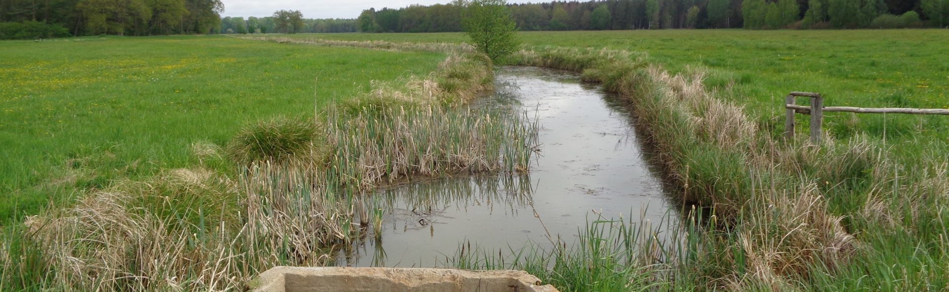
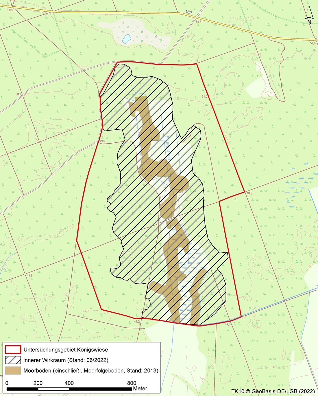
The “Königswiesen” project area is located to the north-east of the town of Zehdenick in the district of Oberhavel. Covering an area of ca. 38 ha, it encompasses the present-day headwaters of the Eisergraben, an artificial tributary of the Döllnfließ in the western Schorfheide. The project area represents a postglacial peatland sink of a smaller meltwater channel in the outwash area of the Schorfheide.
The Eisergraben, which runs mostly centrally in the project area, drains a total of ca. 15 ha of peatland soils from relict peatland gley to thick earth and mulm low-lying peatland and feeds the water southwards via the Döllnfließ to the upper Havel waterway. The “Königswiesen” are currently used agriculturally by a local agricultural company as mowing pasture.
WHAT IS CURRENTLY HAPPENING?
Hydrological measurements at four groundwater monitoring sites and one surface water monitoring site in Eisergraben
Preparation of the peatland mapping
Consultations with users
Compilation of the area compendium
TASKS
The Königswiese area is one of our new project areas. We are currently working on researching existing data and filling gaps in the data. In addition, contact has already been established with users and owners.
Feel free to check this page in the future for progress updates relating to this project area.
LATEST NEWS AND LINKS
A revision of the delineation of the organic soil types within the area was undertaken.
The system of channels will soon be surveyed and test dams prepared / applied for.
COMPLETION STATUS
Please refer to the table for the completion status of the task using this Link.