Project areas
Fahrland Polder Area
CURRENT INFORMATION ON THE PEATLAND AREAS
Please click on the peatland area you would like to learn more about.
CONTACT PARTNER

Dipl.Biol. Christina Grätz
E-mail: Christina.graetz@nagolare.de
Telephone: 035607 745964
AREA DESCRIPTION
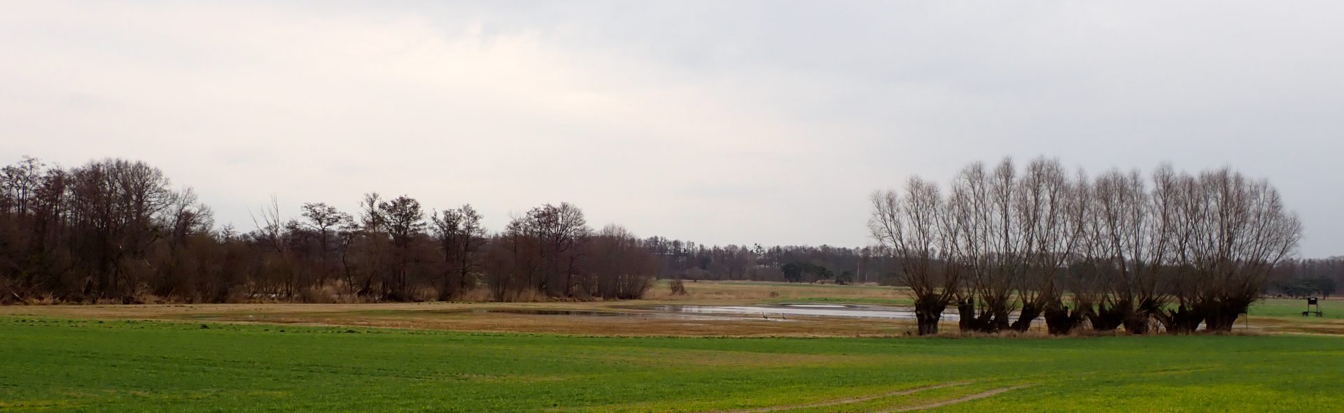
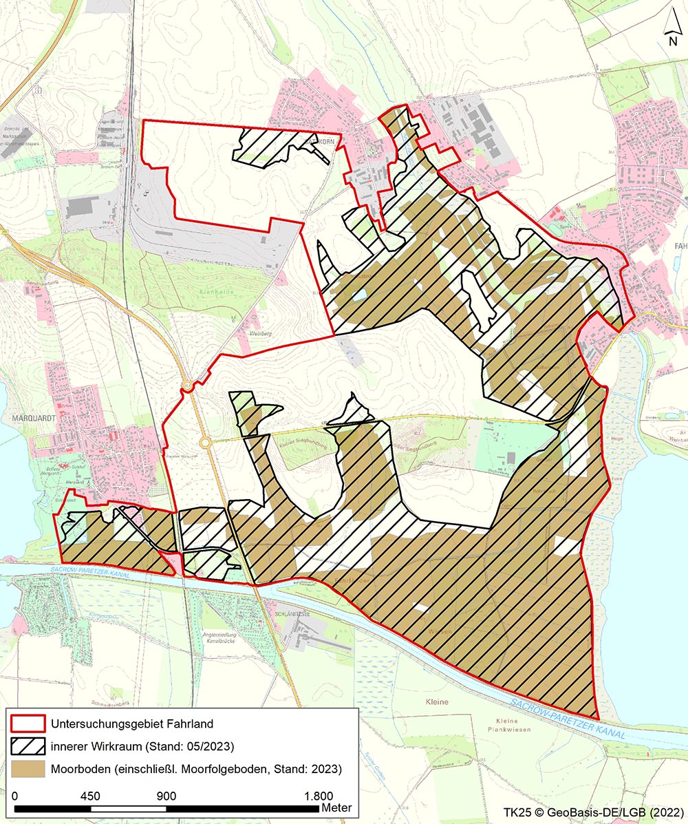
The Fahrland Polder area of study is located south of the village of Satzkorn and is bordered to the south by the Sacrow-Paretzer canal and to the east by the Fahrlander See lake and the village of Fahrland.
The Fahrland polder is located in the lower part of the meltwater channel of the Fahrlander See. This is characterised by Pleistocene and Holocene sediments and forms an incision from the north from the Berlin glacial valley into the so-called Nauen plate and finally merges into the Brandenburg-Potsdam Havel lowlands. The impermeable ground moraine layers are interrupted in the area of the polder, and sandy groundwater-bearing layers are present on the surface and enabled the formation of the peatland. As a whole, the Fahrland polder lies in an outwash channel and is underlain by guiding and damming layers that change several times.
Interventions in the study area that were significant from a hydrological point of view began with the expansion of the Sacrow-Paretzer Canal in the period from 1874 to 1878. The 19th century saw increased embankment and drainage measures in the study area. The implementation of inland drainage from 1953 onwards significantly interfered with the landscape: The existing secondary channels in the low-lying areas of Fahrland and Satzkorn were expanded and additional new channels were constructed. A network of drainage channels is still in use today in the area of the organic soils to regulate the groundwater level in the polder area. The main drainage is via the Fahrland pumping station to Fahrlander See.
In the study area there are predominantly nutrient-rich marshes. There are, however, also floodplain marshes in the vicinity of the Fahrlander See shoreline. These are mainly low-lying mires with peat thicknesses of more than 30 cm. Most of the southern and eastern parts of the study area, where organic soils are prevalent, have a very flat terrain. This is contrasted by sandy outcrops in the western part of the study area. Nowadays, the study area is largely used as meadow or mowing pasture and small areas are also used for growing cereal crops. (Sources: LfU 2000, Scholz 1962, LUP 2013, Dornbusch 2011).
WHAT IS CURRENTLY HAPPENING?
Hydrological measurements at six groundwater monitoring sites and one surface water monitoring site
Mapping of the avifauna
Consultations with users
TASKS
Establishment of utilisation chains
Specific business analysis with regard to the need for adaptation for individual agricultural enterprises
Information event for owners
LATEST NEWS AND LINKS
There is currently no current information available.
COMPLETION STATUS
Please refer to the table for the completion status of the task using this Link.
Completion of project modules 1. and 2. is planned for 2022 and 2023. The project modules listed below are to follow:
- Validation of the development scenarios
- Approval procedure
- Project implementation