Project areas
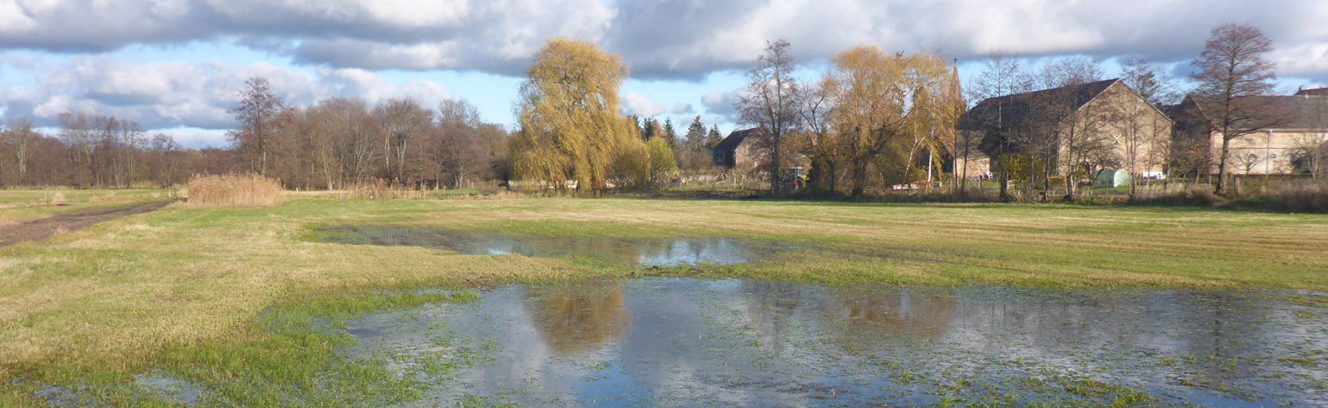
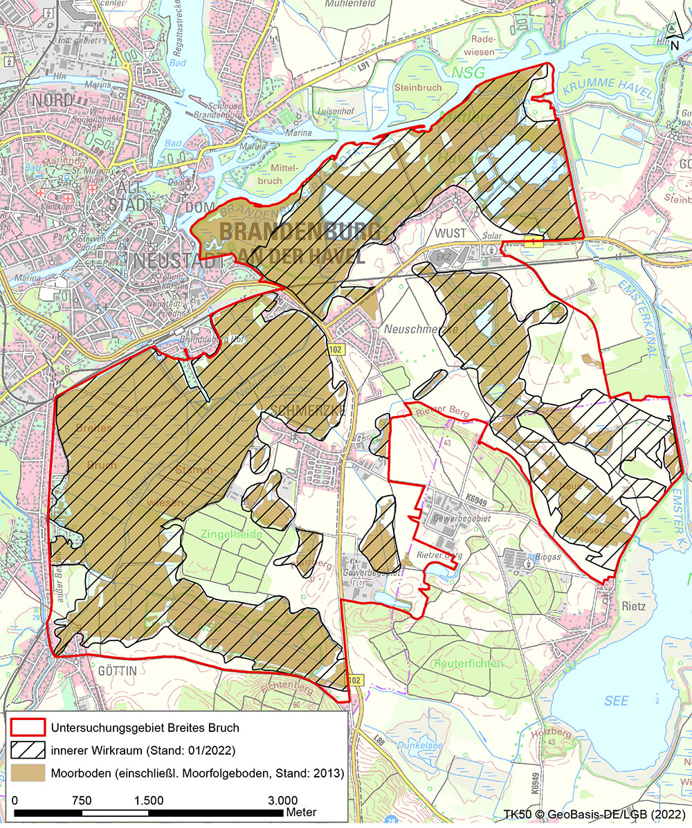
Breites Bruch Polder Area
CURRENT INFORMATION ON THE PEATLAND AREAS
Please click on the peatland area you would like to learn more about.
CONTACT PARTNER
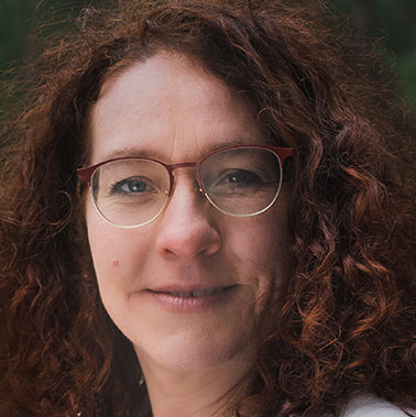
Dipl.Biol. Christina Grätz
E-mail: Christina.graetz@nagolare.de
Telephone: 035607 745964
AREA DESCRIPTION
The construction of dams in the city of Brandenburg (Mühlendamm) during the early Middle Ages, which was associated with a rise in the water level of ca. 1 m, led to the permanent flooding of large parts of the Brandenburg-Potsdam Havel area and, in connection with this, to the formation of extensive fens, some of which were more than 2 m thick.
Major interventions in the water management of the lowlands were undertaken in the 20th century. As a result, the pumping station was built in the polder in the mid-1970s and the dimensions for the channel system were modified. Moreover, a significant number of dams were also built. However, a dyke was not built. The modernisation of the pumping station was undertaken in 2003. The water from the lowland areas of Wust, Mittelbruch and Breites Bruch is discharged into the Jakobsgraben via the Breites Bruch / Hoher Steg pumping station.
As a result of drainage, considerable slumping and compaction of the organic soils occurred on the peatland areas, leading to the formation of waterlogged peripheries. The subsidence of the peatland surface has caused the elevation level of the areas to be significantly lower today, which results in an overflow at the same water level. As a rule, waterlogging in the study area is not caused by flooding of the Havel, but by major precipitation events and overflowing channel water. In the depressions not connected to the channel system, the amount of evaporation and the occurrence of ground frost influences the amount of time the area is flooded and is therefore only slightly influenced by the pumping station operation.
The Breites Bruch project area is characterised by a large number of different biotope types and their partly small-scale changes, which form the basis of life for various amphibians, reptiles and other species groups. Besides marshy meadows, reed beds, alder groves and wet woodlands rich in biodiversity, there are also intensively used pastureland and fields.
WHAT IS CURRENTLY HAPPENING?
Hydrological measurements at six groundwater monitoring sites and one surface water monitoring site
Mapping of the avifauna
Consultations with users
TASKS
Establishment of utilisation chains
Specific business analysis with regard to the need for adaptation for individual agricultural enterprises
Information event for owners
LATEST NEWS AND LINKS
This section contains the presentations of the early information event for owners in the Breites Bruch polder project area on 12.08.2022.
- Presentation Dr. Lukas Landgraf
- Presentation Christina Grätz
- Presentation Dr. Andreas Wahren / Dr. Volkmar Rowinsky
- Event notification Breites Bruch
COMPLETION STATUS
Please refer to the table for the completion status of the task using this Link.
Completion of project modules 1. and 2. is planned for 2022 and 2023. The project modules listed below are to follow:
- Validation of the development scenarios
- Approval procedure
- Project implementation